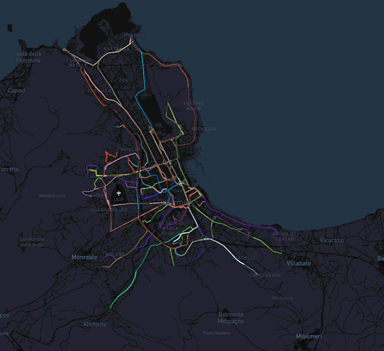
Interactive maps and cartography to explore and enrichment geospatial data
This service is what you are looking for
if you need to tell your story based on geospatial data.
Communicate a known process or building a product to unveil unknown trends and patterns, maps are a wonderful tool to visually illustrate the richness of your information.
Interactive or printable, standalone or as part of a visualization, we can provide the right product for your purpose. Boost your decision-making processes.
- you are a NGO and you want to visualize your geospatial data about migrants and refugess routes.
- you are an architect and you are working on a project of urban planning. We can provide you a tool to explore real-world environments.
- you are a Public Administration and you want show to your citizens the results of a survey. We can build for you a tool to visualize your geographic information.
Typical use case of this service: