Technology
D3.js, Nivo, Highcharts, InDesign, Illustrator
Data source
OpenStreetMap and MapBox terrain-rgb
Categories
Infographic, geovisualization, static, printable
Website
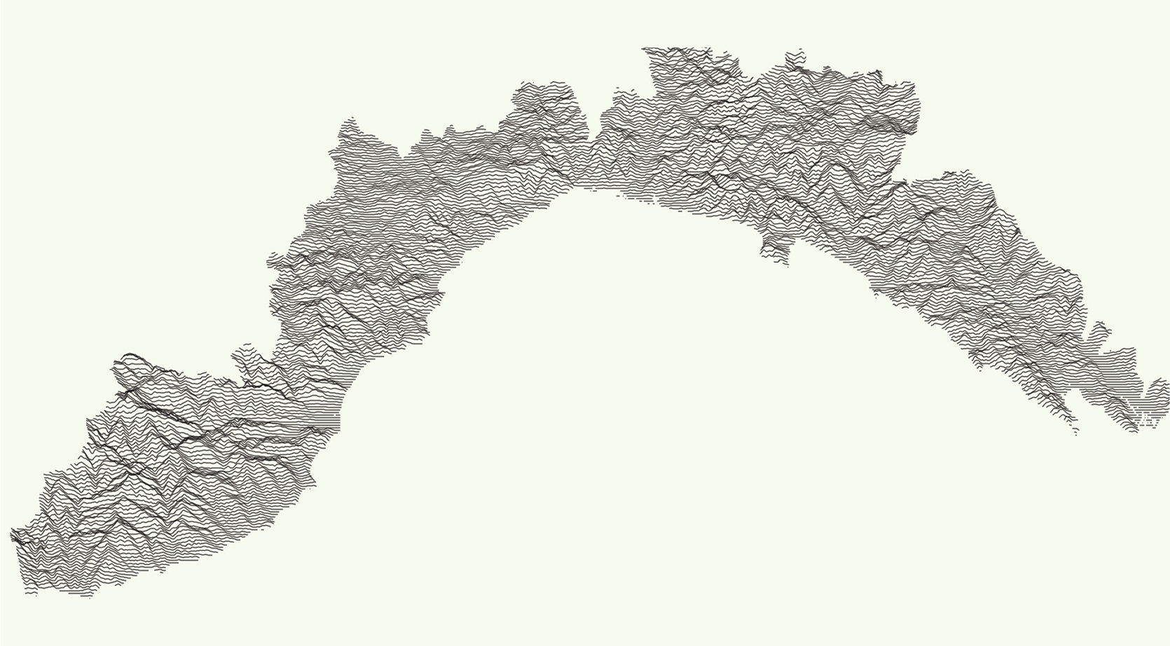
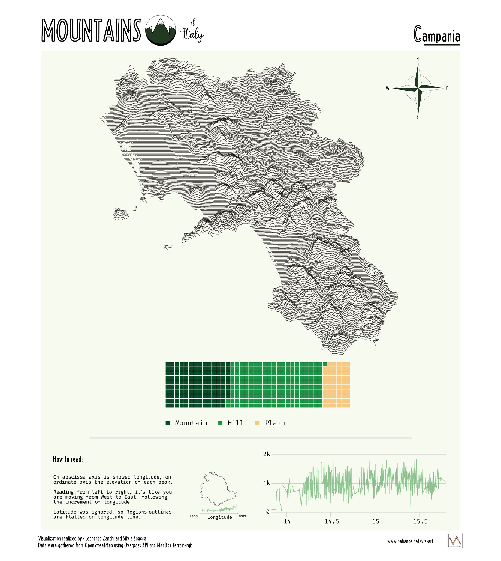
A series of 20 infographics, one for each Region of Italy to understand the morphology of the terrain and his structure.
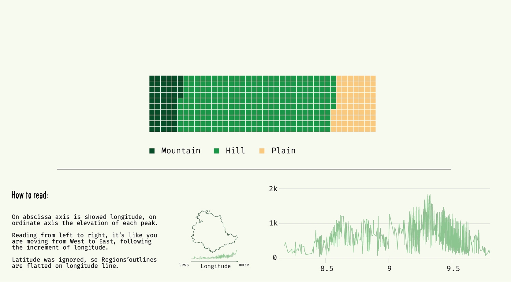
The shape of the Region is visualized with a ridge-line plot that shows land formation. Down below a simple waffle reveal the proportion of Mountains, Hills and Plains. At the bottom of the page a line chart illustrate the outline of the Region flatten on longitude line, ignoring latitude information.
The shape of the Region is visualized with a ridge-line plot that shows land formation. Down below a simple waffle reveal the proportion of Mountains, Hills and Plains. At the bottom of the page a line chart illustrate the outline of the Region flatten on longitude line, ignoring latitude information.
Key features: static, printable.


